2025 - City of Santa Clarita Purchases Beale's Cut
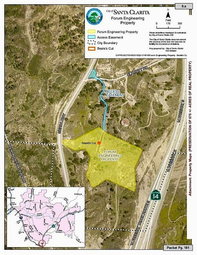
Propery bought by the City of Santa Clarita from Forum Engineering. (From the information packet of the Santa Clarita Valley City Council meeting of 10/28/2025.)
In October of 2025, the City of Santa Clarita purchased an oddly shaped parcel of about 13 acres from Newhall Refinery landowner, Forum Engineering, for about $2.7 million (as reported in the Newhall Signal of October 30, 2025). That money came from a state grant funding the preservation of 670 acres of open space surrounding the Santa Clarita Valley. The parcel contains the historical site of Beale's cut, but the only access to the cut will be by a trail on a narrow easement from Sierra Highway through the refinery property to the northern end of the cut. There is no public access at the southern end from Sierra Highway, unless you trespass on private property.
In May of 2026, the city began construction of the parking area on Sierra Highway for people who want to visit the cut. The new parking area had already existed as a turnout and now would be enlarged for easier and safer parking. The actual trail up to the cut already exists as a paved road used by the refinery when it was in operation.
Right now, I do not know if any improvements will be done to the cut. Will the city try to clean out the accumulation of cave-ins that have occured through the years or just leave it as is? I don't know. There is an existing old trail from one end to another.
More to come after the work is completed.
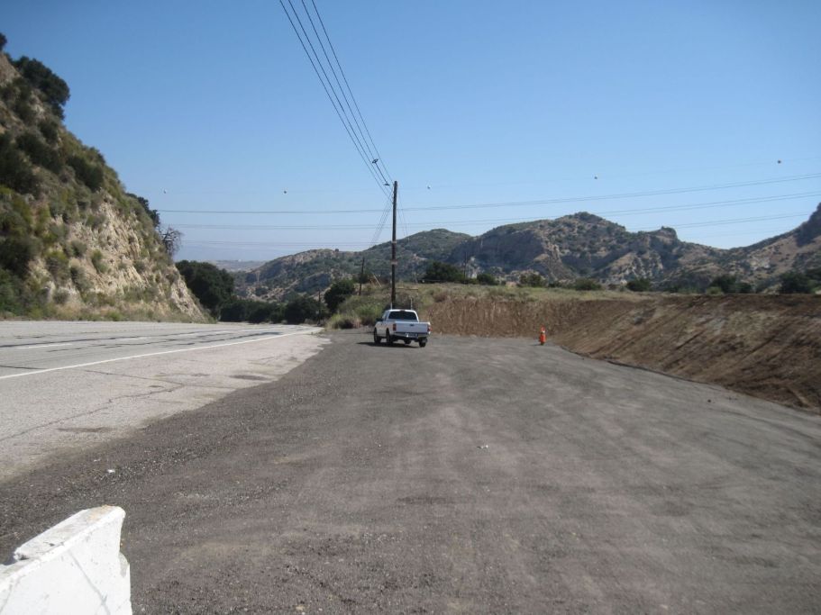
Here is the parking area next to Sierra Highway under construction. That's my truck. There is a speaker high on the pole that tells me that this is a restricted area and to leave now or I will be prosecuted. I walk to the other end and take this photo. (Photo taken May 16, 2026)
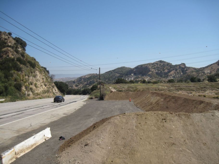
Here is another view (to the north) of the parking area without my truck. (May 16, 2026)
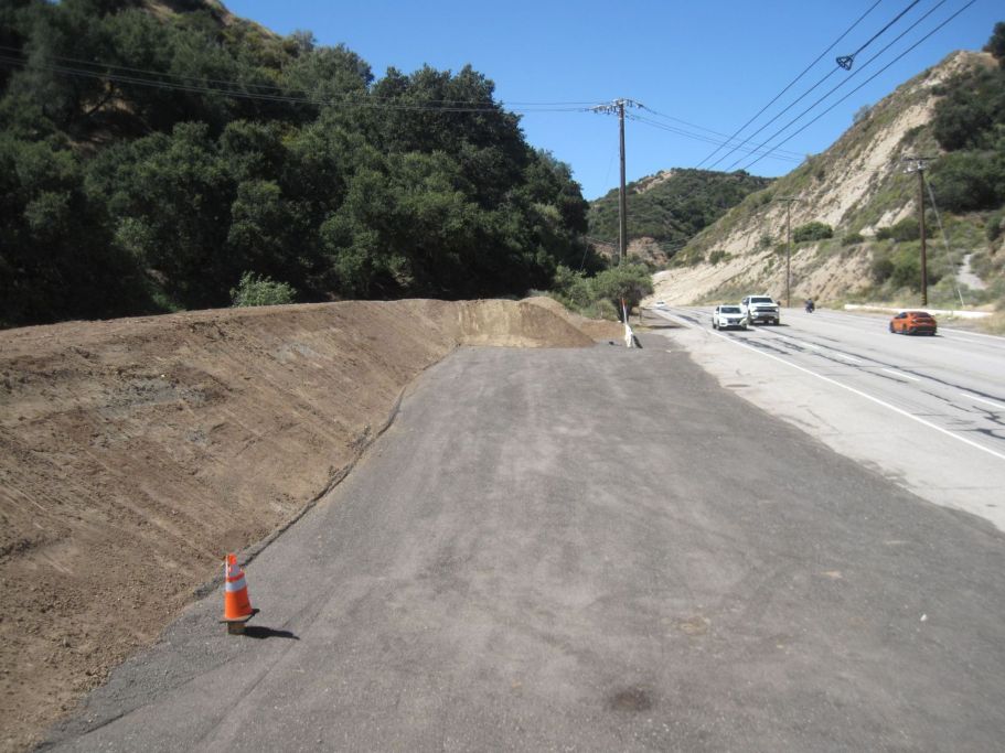
View looking south. (May 19, 2026)
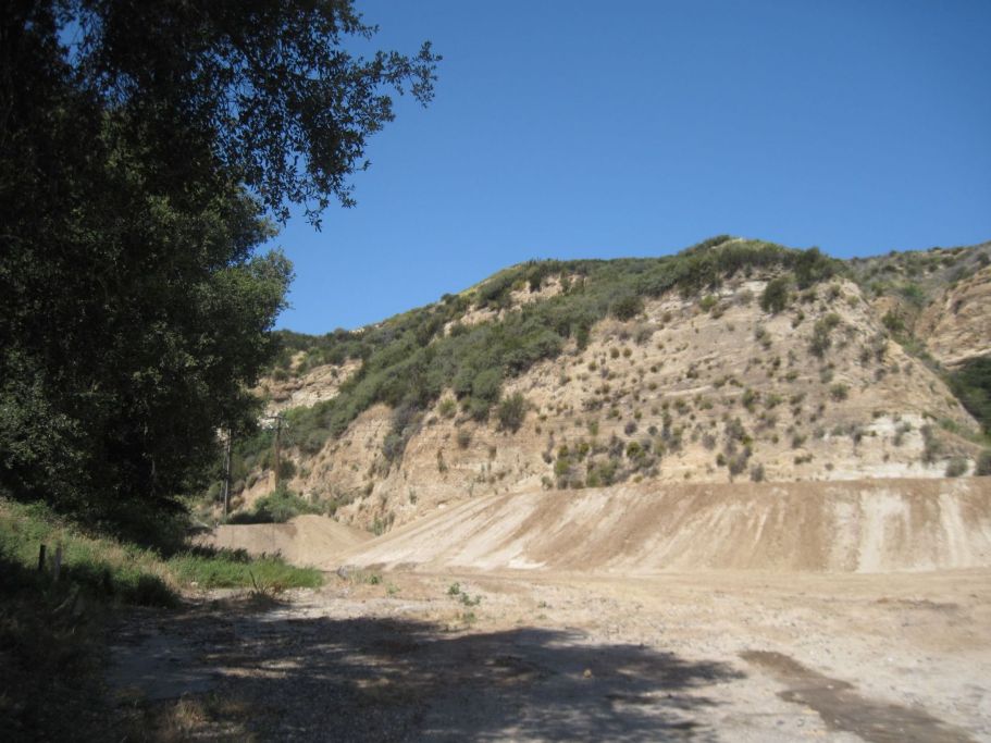
Starting the hike to the cut looking back at the parking area, which is behind the high dirt mound. It sort of looks like an earthen dam. (May 16, 2026)
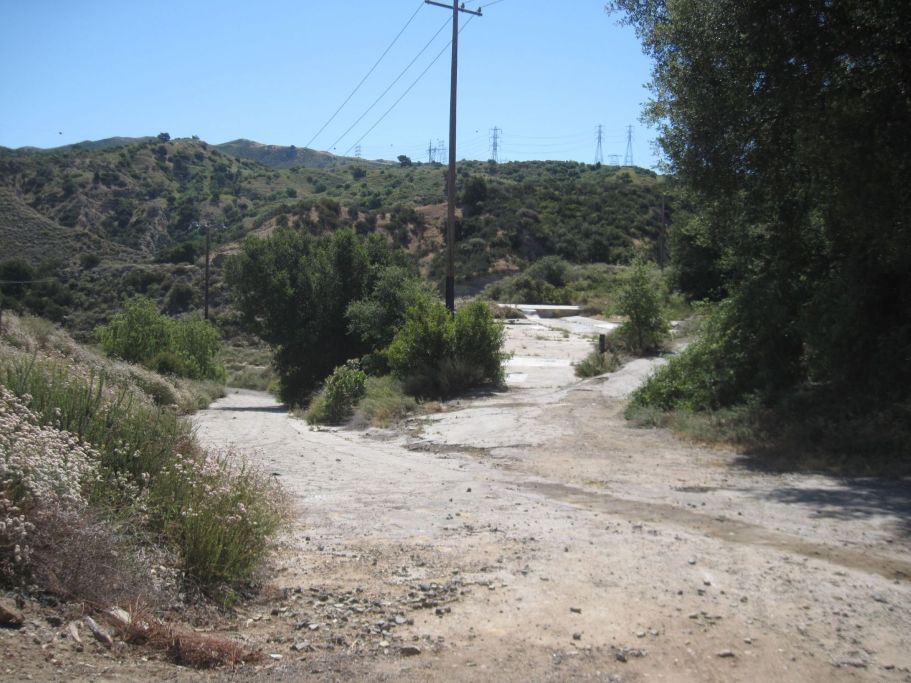
Not far from the parking area, we will leave the main road, which heads down into the refinery area, and take the small paved road on the far right. It will be pretty steep for a while, but the hike will only take about 10 minutes. (May 19, 2026)
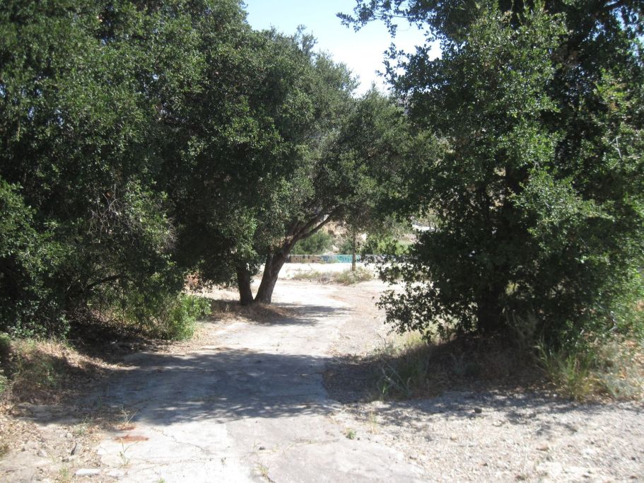
Looking back after a short distance up the road. (May 16, 2026)
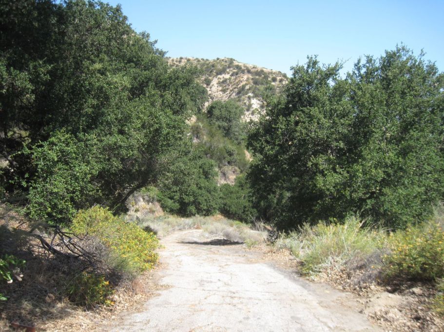
Again, looking back down the road. (May 16, 2026)
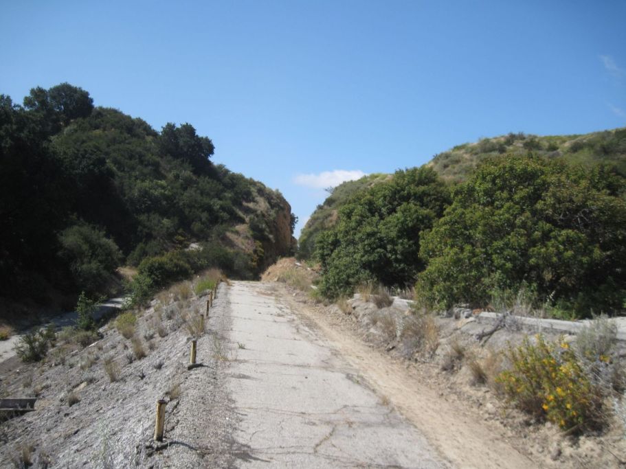
You can just see the cut in the distance. (May 16, 2026)
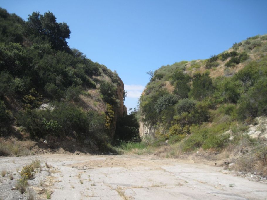
Almost there. (May 16, 2026)
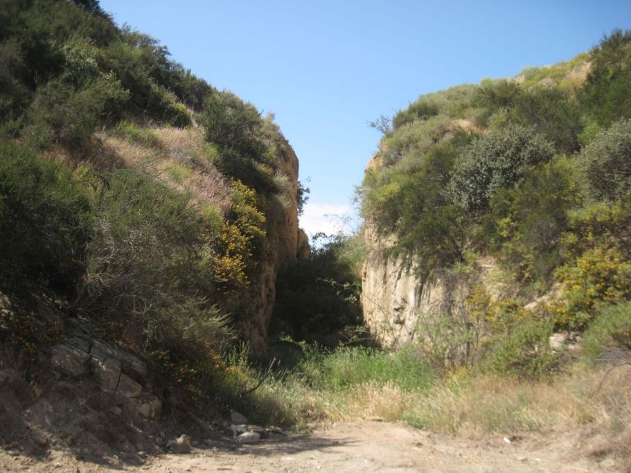
North opening of Beale's Cut. In the 20th century, historians re-named this gap from Fremont Pass, its usual name, to Beale's Cut. The gap was never called Beale's Cut while it was in use, which was up until 1910, when the Newhall tunnel was opened. The first, and only, plaque honoring it was erected in 1926 (at the south opening) and it was called Fremont Pass. (May 16, 2026)
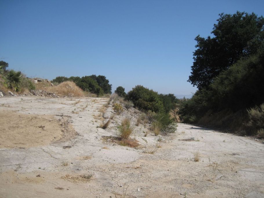
Turning around (to the north), we see the road we just hiked up on the left and the road down to the refinery, which is private property, on the right. The road on the right is the original Beale's Cut road, of course now paved. (May 16, 2026)
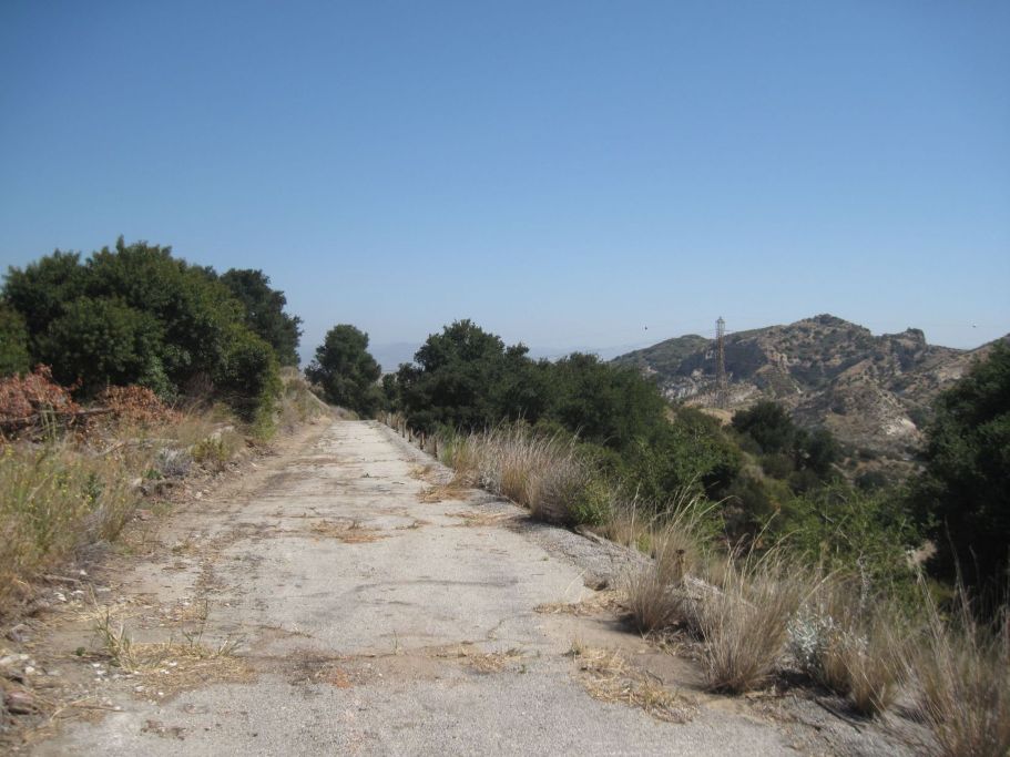
Taking the same road we climbed up on, we return to the car. (May 16, 2026)